I’ve only been flying out of the Los Angeles basin for about six years, but in that time I’ve been witness to some unusual stuff. September 11th comes to mind. I recall standing outside the fence at John Wayne Airport and listening to the sound of complete silence. The Southwest jets normally found on the east side were replaced with F-18s.
Today is another one to remember for those of us who fly. The ring of fires encircling Southern California has poked more than a few holes in the aviation system. I checked for NOTAMs (Notices to Airmen) on the web and found this:
HHR 10/032 ZLA CA.. SO CALIF APPROACH CONTROL OTS
HHR 10/034 ZLA CA.. SAN DIEGO AFSS CLSD
HHR 10/035 ZLA CA.. RIVERSIDE AFSS CLSD
The “approach control OTS” line is not something one sees everyday. It’s referring to Socal Approach, which controls all traffic in the Los Angeles basin below 10,000 feet. Everything from the Mexican border to Oxnard falls under their perview. The Socal Approach facility is physically located near Mirimar, and yesterday one of the fires nearly consumed their building. They evacuated the facility and have been offline ever since.
So for the immediate future, there is no one controlling this airspace. Which poses some interesting problems for someone (like myself) planning to fly through airspace which, according to Federal Aviation Regulations, requires radio contact with an approach controller.
Los Angeles Center is covering what airspace they can, but it’s dicey. L.A. Center is normally only responsible for stuff above 10,000 feet and they don’t have the charts, equipment, or procedures to deal with Socal’s lower airspace.
Socal Approach is made up of different “sectors” covering different areas of the L.A. basin, but as I said the controllers are physically located in the same building. I’ve been wondering about the long term impact this will have. If the fire burns down their facility, this gridlock could persist for months while air traffic functions are transferred to a new location.
I have a few other concerns about flying in these conditions. For one, contaminants in the air could clog the intake filter to the point where the engine doesn’t get enough air to operate. But I’ve called around to several FBOs in the area and they’ve been flying all weekend with no problems. I also wonder if it will be possible to get anything productive done in the air with the visibility so low.
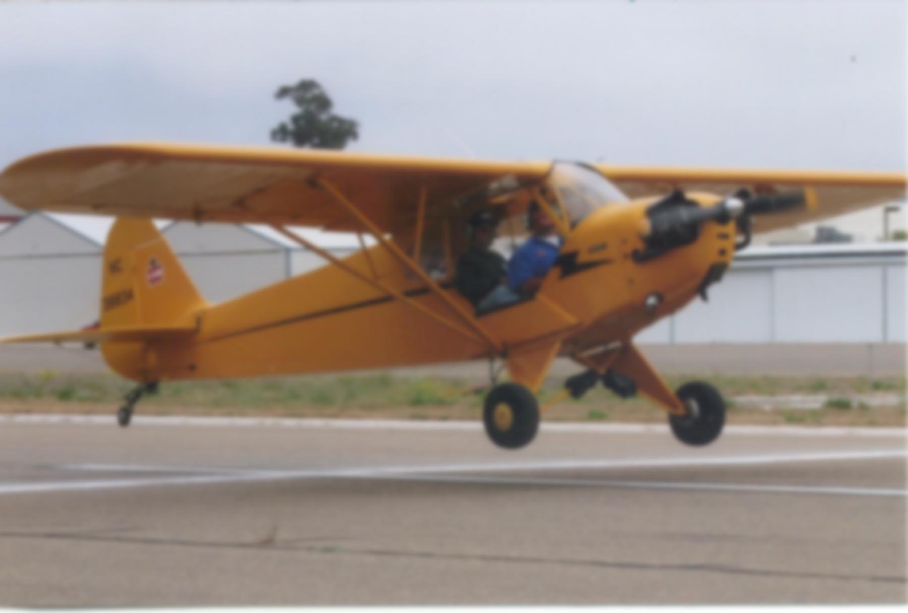
Still, I’m looking foward to flying today. It will be an educational experience and a good chance to see what things look like from the air. I’ve actually flown through smoke on more than one occasion. My last flight to Mammoth was like this. Worse, probably, since the route takes you through the narrow Owens Valley where the terrain climbs something like 15,000 feet in less than two miles. There are no IFR routes through the Owens Valley, so technically you have to rely on your eyes to keep you out of the rocks. But with the advent of GPS, you can back up your visual cues with hyper-accurate satellite navigation.
sup ron
Hey Greggie. Enjoying the smell of smoke? Nice URL, by the way.
Yessir! Mother nature is killing us with second hand smoke!
All those years of abstaining from Lucky Strikes and we end up with cancer anyway…
I think you’re right about Mother Nature. She probably got sick of all the cookie-cutter homes and decided to re-zone the neighborhood, LBC style.
I actually went flying in this smoke. It was interesting, to say the least.